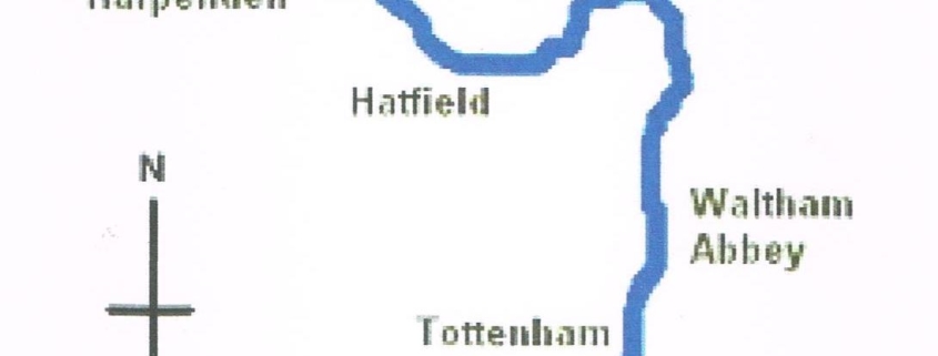
The River Lea or Lee and the valley was formed 1,000,000 to 1,800,000 years ago during the four glaciations (Ice ages). The ice sheet, which geologists have calculated advanced from the north to a line that extended west-east across Britain from south Wales through Finchley to south Essex, retreated about 11,000 to 10,000 years ago. As the ice melted it brought down deposits of sand, gravel and clay that eventually formed the valley as we know it today. The source of the River Lea is situated North of Luton at Leagrave Marsh. The river is 42 miles in length and meanders through several counties and many boroughs of North and East London before reaching the River Thames at Bow creek. The river was one of the earliest navigations and was thriving long before the age of the canals. The evidence of man using the river go back into prehistory with the remains of a Bronze Age canoe found near Walthamstow marshes.
From this alone archaeologist have managed to recreate the lifestyles of its past inhabitants stretching back thousands of years. Over time the river was also being used to transport food and goods and building stone to help construct mills to generate power for grinding grain. Early brickmaking and the growing of hay to feed the many horses in the valley and London can be traced back to medieval times. The valley was also a great place to grow fruit, vegetables, and flowers, and was named the Lea Valley market garden. Miles of greenhouse’s can still be seen today.
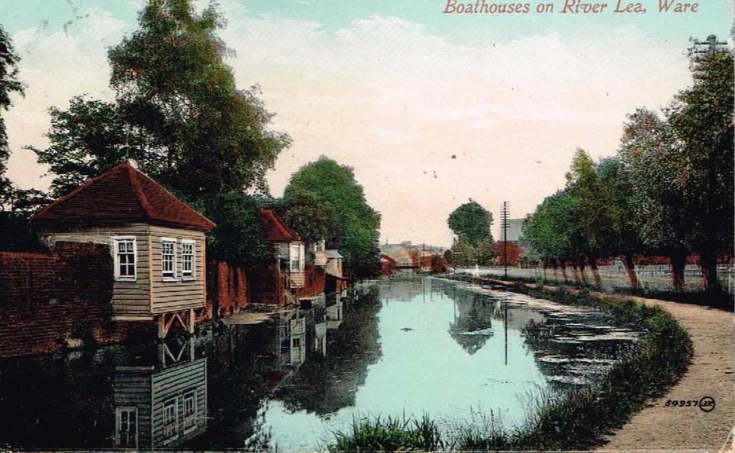
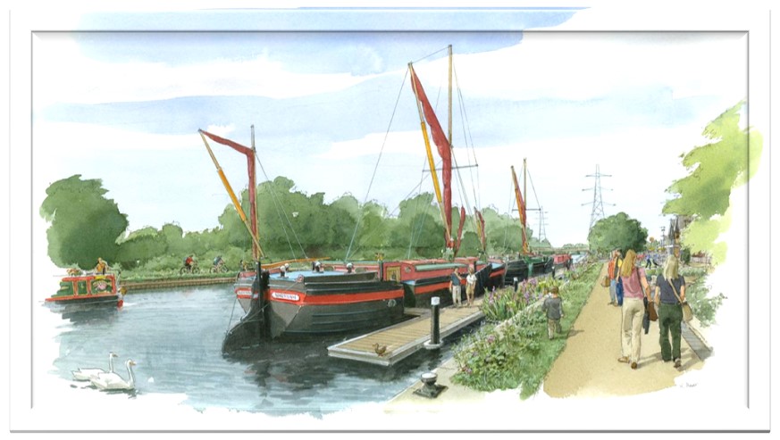
The river however also contained many shallows and pools which over time began to make navigation very difficult. In the late 18th century, a solution to this was found with a series of cuts and canals being constructed to bypass the less navigable sections of the river. This was called the River Lea navigation which contained a series of Locks and weirs. The river highway today is now mainly used by barges as homes and small river cruisers.
